Some Experiments in Java
Airport Route Map
As a part of a course in object oriented programming in Java, y made a small code, which uses the unfolding map library for Java, to visualize several cities and the closest airports to them (up to a given distance, 200 Km by default). Some of the characteristics of the code are:
The original base code were developed by Adam Setters and the UC San Diego Intermediate Software Development (MOOC team), and I performed several modifications and add several classes that add new functionalities.
Here some examples of the results:
- If a city is selected, then it shows the airports that are no farther than 75 Km.
- Once a city is selected, a bubble appear, showing some information about the city.
- If an airport is selected, then it shows all the routes from/to such airport.
The original base code were developed by Adam Setters and the UC San Diego Intermediate Software Development (MOOC team), and I performed several modifications and add several classes that add new functionalities.
Here some examples of the results:
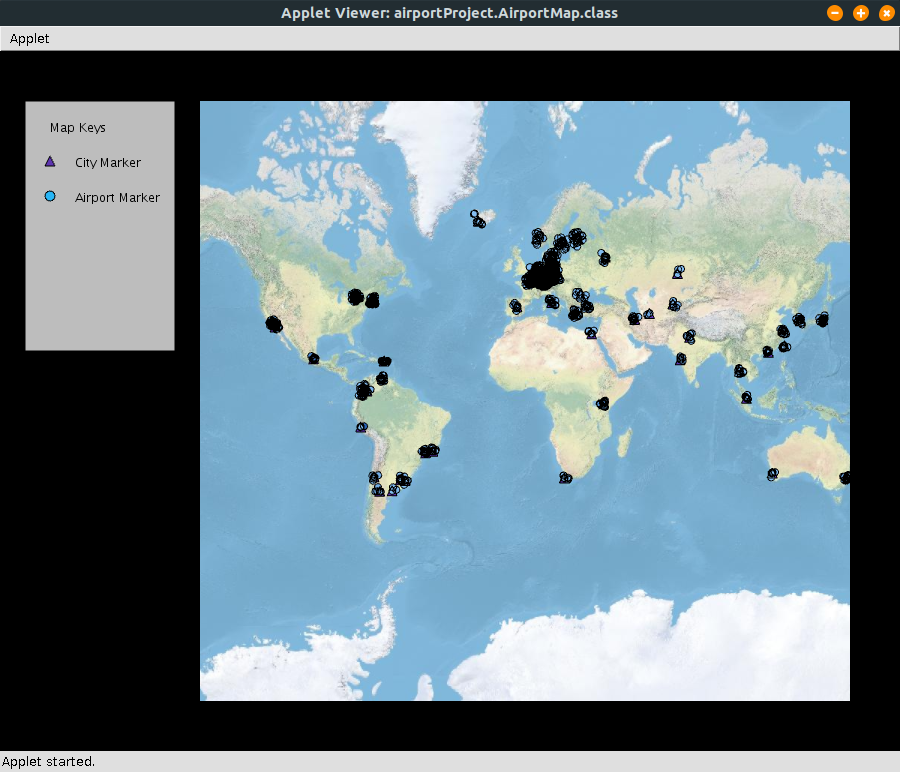
Default view. All cities and airports loaded from two different files.
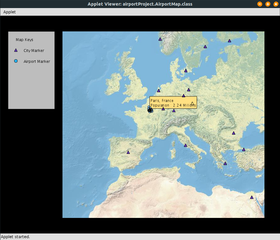
Closer view to the map, centered in Europa, particularly around Paris. The city is selected and show all airports close to it.
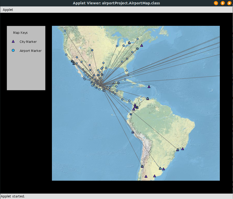
The Mexico City International Airport is selected, and it shows all the routes that include it.
Several modifications were made to the original code. Some of them are:
The source code can be found here.
- A "AbstractMapProvider" variable added, to change easily between providers
- A "colorMap" method to deal with the color of each airport, as a function of its altitude.
- A "CommonLineMarker" class, to deal with the properties of the SimpleLinesMarker objects
- Several methods to select the airports to show and the selected routes
- Several cities around the world added to the original "city-data.json" file
The source code can be found here.
